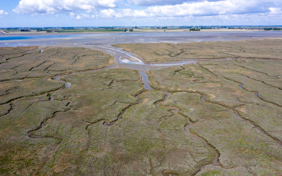
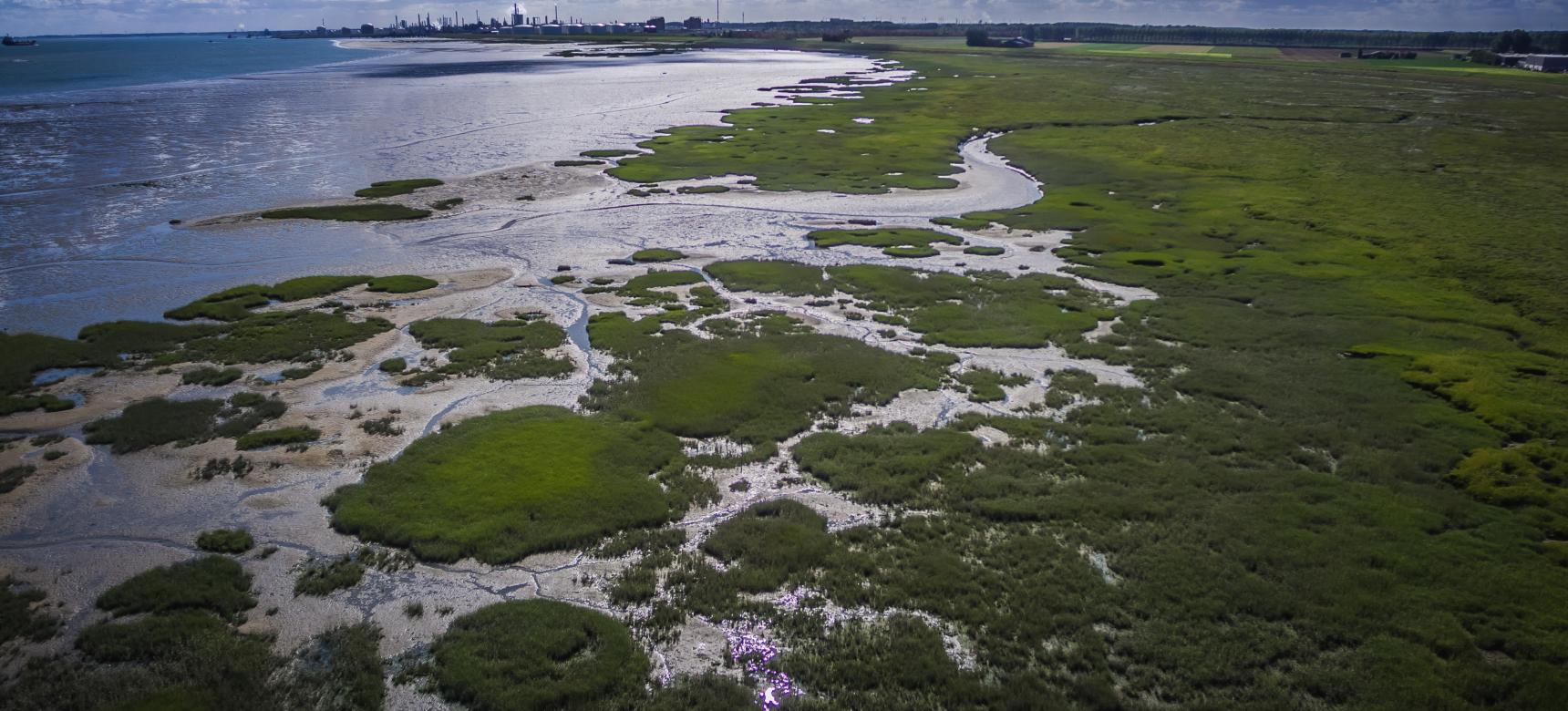
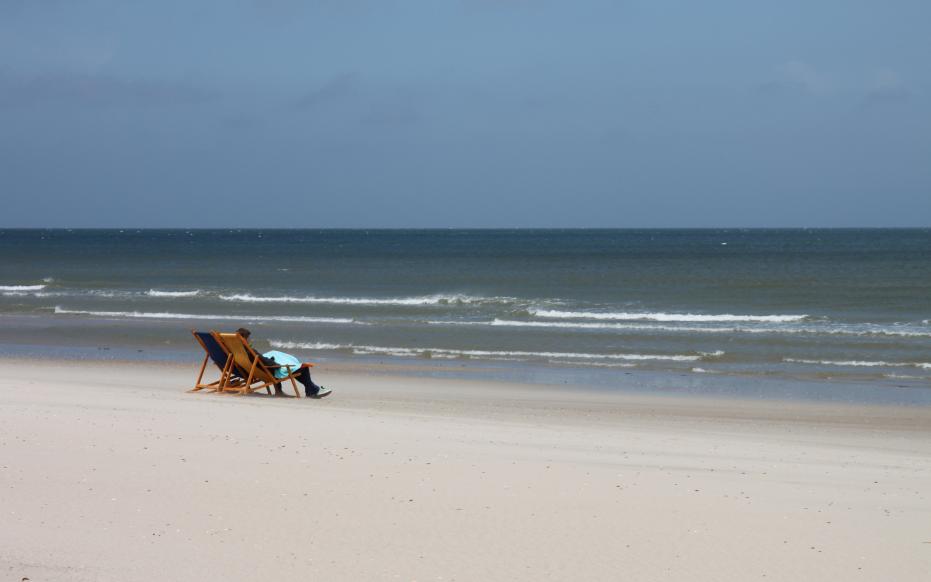
Estuary

Although our Geopark is called Schelde Delta, our Geopark actually covers the Scheldt estuary. The Scheldt estuary has been changing shape regularly for millions of years and is now a landscape full of contrasts. But what exactly is such an estuary? The van Dale dictionary defines estuary as a river mouth wide (often funnel-shaped) by tidal currents. This does not make the term estuary any easier to understand, so read on quickly!

Walcheren strand

What is tide?

You go to the beach on a hot day and want to take a refreshing dip in the sea. You may then notice that sometimes you have to walk far to the sea while other times the sea seems much closer. This happens even if you place your towel in the exact same spot. Because not only does the sea seem to move, it does!

That "moving" of the sea is what we call the tide. In other words, the alternation of a low, retreating and a high sea. You probably know the terms ebb and flood. Ebb is popularly referred to as low tide, meaning the time when the sea is far away. High tide is the opposite and thus a rise in sea water after low tide. The sea is then a lot less distant.

Krabbenkreek (gemaakt door Marcelle Davidse)

A river delta

In a delta, the river flows through lowlands to the sea, reducing the flow rate. As a result, clay and sand particles sink to the bottom. As a result, the river looks for new branches toward the sea. From the air, these branches together form a kind of triangle. Hence the name Delta, as the Greek capital letter also has this shape (∆). The water in the estuary remains fresh and no tidal action is noticeable.

screenshot video slikken en schorren

So why an estuary anyway?

The Netherlands consists largely of the connected delta area of the Scheldt, Meuse and Rhine rivers yet their estuaries are estuaries. The main reason for this is that there is also influence from the North Sea. This creates tidal action in the area, making it an estuary. The difference in tides creates interesting nature. An example of this are the mudflats and salt marshes that are alternately wet or dry. Mudflats flood at each high tide while salt marshes only flood during spring tides (powerful ebb and flow).