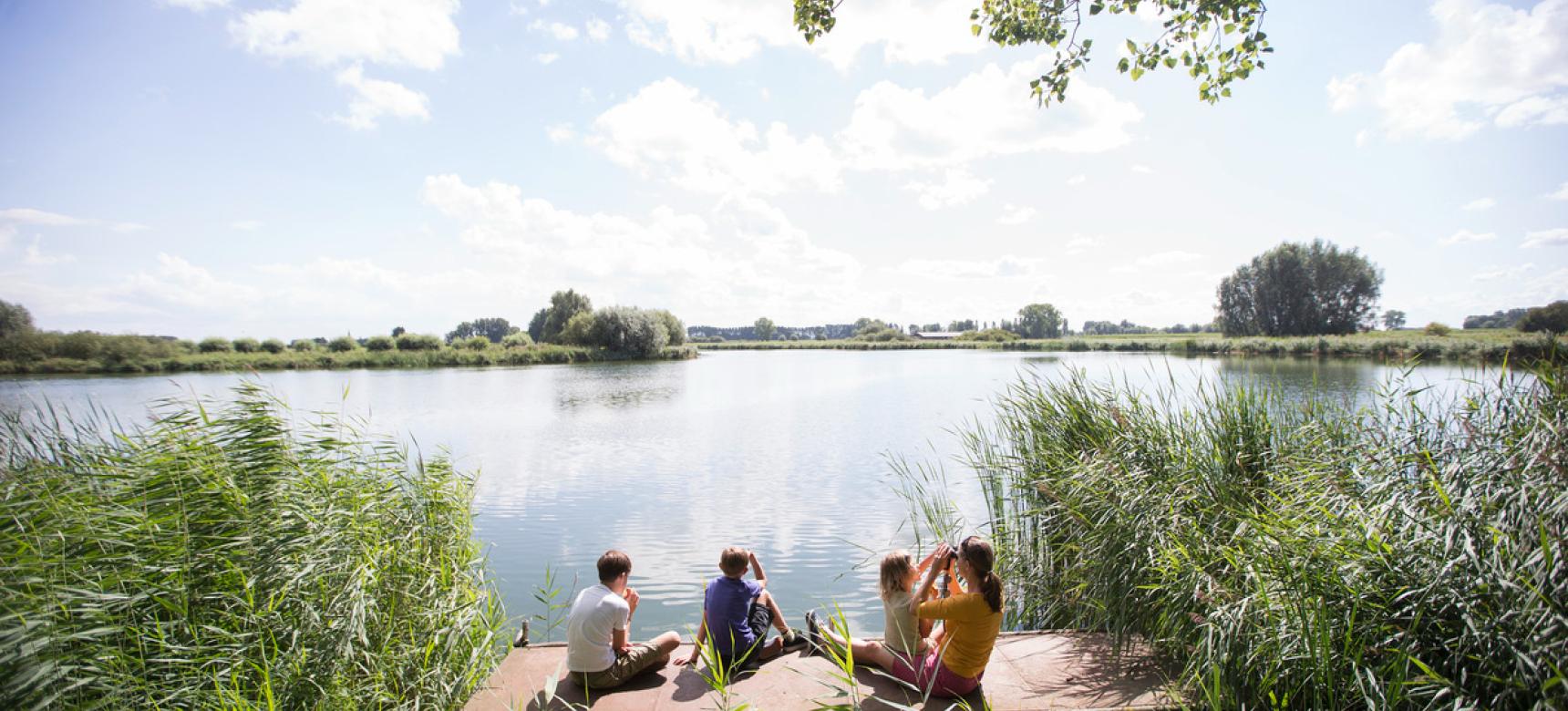
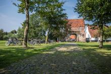
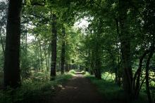
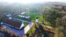
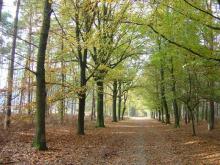
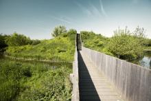
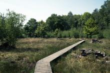
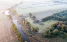
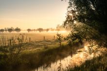
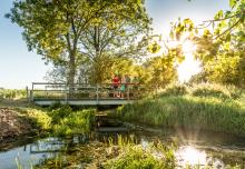
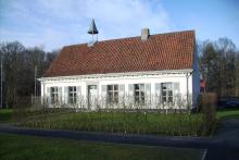
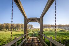
The Meetjesland is a beautiful East Flanders region made up of both creeks and cuestas (witness hills).
CHARACTERISTICS
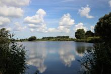
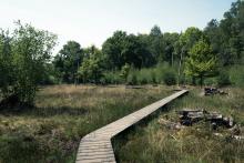
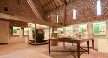
In the north of the Meetjesland one finds polders with former tidal creeks. To the south you enter the somewhat higher wooded area of the Meetjesland on the Oedelem-Zomergem cuesta. The highest point of the cuesta is located at the former airport of Ursel at about 25m above sea level (NAP). Centrally located is the Drongengoedhoeve with a geological exhibition on the genesis of the cuestas and the Flemish Valley.
LOCATION
The Meetjesland is the rural region between the cities of Ghent and Bruges. To the north it borders Zeeuws-Vlaanderen in the Netherlands, to the west the province of West-Vlaanderen and to the east and south the region of Ghent and Waasland. The municipalities of the Meetjesland are Aalter, Assenede, Eeklo, Evergem, Kaprijke, Lievegem, Maldegem and Sint-Laureins.
