
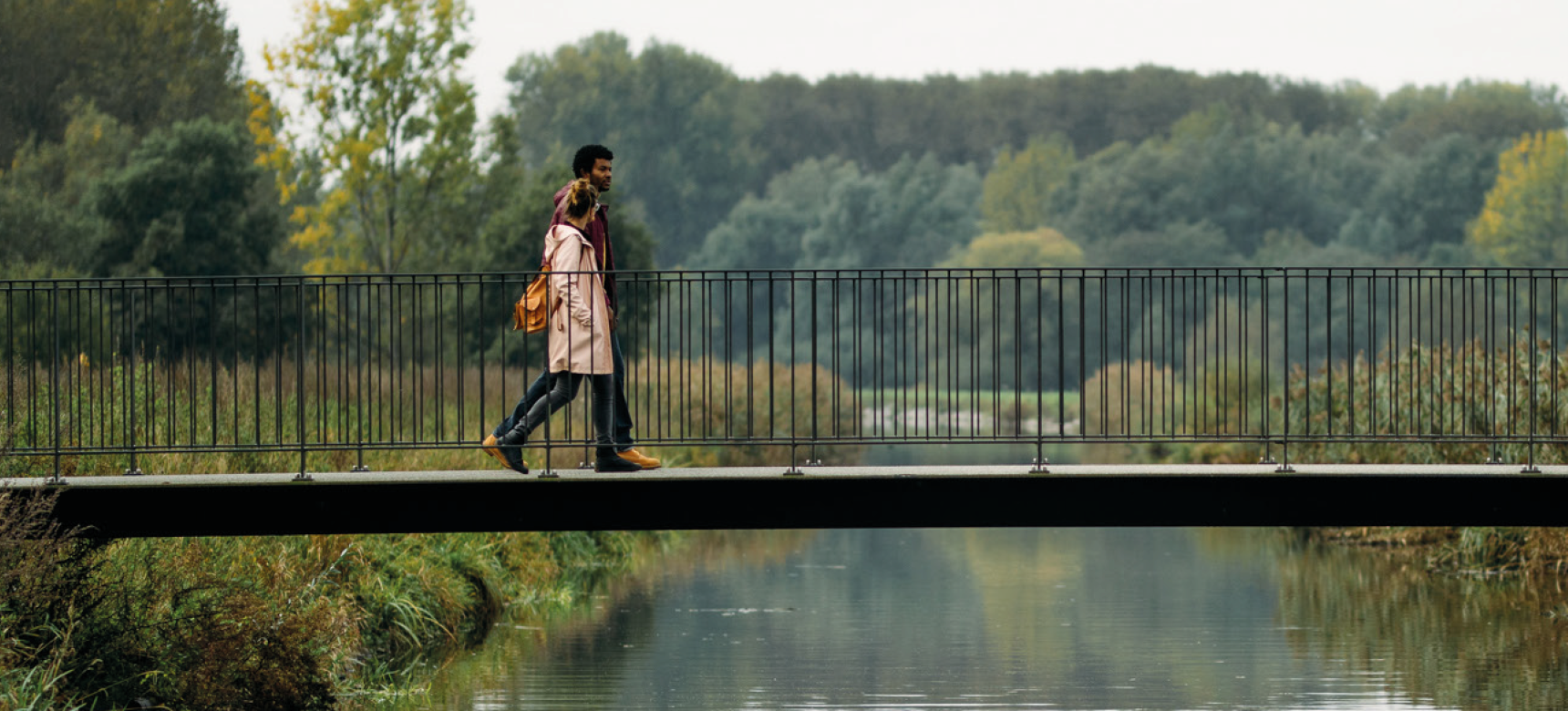
This tower, accompanied by boundary marker 281, stands on the national border. He is the symbol of the connection between East Zeeuws-Vlaanderen (Netherlands) and the northern part of the Waasland (Belgium).
In the transnational LEADER project Burgundian Neighbors, the following partners worked on realizing Viewpoint No Man's Land, uniting agro-entrepreneurs and the promoting cross-border cooperation in rural tourism and the sale of regional products.
Elongated snad ridge
The elongated Maldegem-Stekene sand ridge, on which this viewpoint stands, formed 20,000 to 15,000 years ago. At the end of the last ice age, a mass of sand was blown in this direction from the dry North Sea area. Later, the North Sea filled up with water again and this became a salt marsh and mudflat area, with the cover sand ridge rising quite a bit above it.

Great military importance
The higher area also had a strategic function. During the Eighty Years' War (1568-1648), the front between the Netherlands (called the States) and Spain lay at the transition from low to high and from wet to dry. Both camps established lines there with several forts and watchtowers, the State-Spanish Lines. Many of these defenses remained in use for centuries. Thus, geology became decisive for the final location of the border.
Groundbreaking collaboration
Viewpoint No Man's Land is a fine illustration of the power of cross-border cooperation to blur borders. A border is not an end point, but offers just extra opportunities to look to the future together.
EGTS Linieland van Waas en Hulst sets up groundbreaking collaborative projects in many areas: port and economy; mobility, nature, recreation and cultural history; housing and livability.
Generous vistas
Atop this vantage point, you can see northward the stately fortified town of Hulst with its historic ramparts. If you go any further, you bump into the Westerschelde. The Scheldt has helped define the landscape here. To the east, in the polders of Hulst, Sint-Gillis-Waas and Beveren, you will find creeks and dikes that recall a time when the water came much further. Today, the current of the Westerschelde brings you to the port of Antwerp. This was able to grow into a world port thanks to the Westerschelde.
To the southwest, the municipality of Stekene stretches out, like the green lung of the Waasland with an extensive woodland and signposted walking network.
Boundlessly beautiful
East Zeeuws-Vlaanderen and Waasland are a guarantee of a hike full of surprises. Let yourself be taken in tow in this beautiful border region in the Schelde Delta, between Westerschelde, Antwerp and Ghent. Cycle through areas where numerous smugglers used to be active, stroll on the Hulster fortress or hike through the Drowned Land of Saeftinghe.
Be amazed by the harmonious contrast between nature, agriculture and industry , cozy towns and photogenic villages, old forts and modern architecture. Be seduced and push your limits in the boundlessly beautiful Linieland of Waas and Hulst.
A wide view of the surroundings
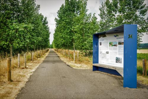
This view-point is located at a place of scenic and geological importance, a geosite in the Schelde Delta. It is worthy of the UNESCO Global Geopark label.
