Cantelmolinie

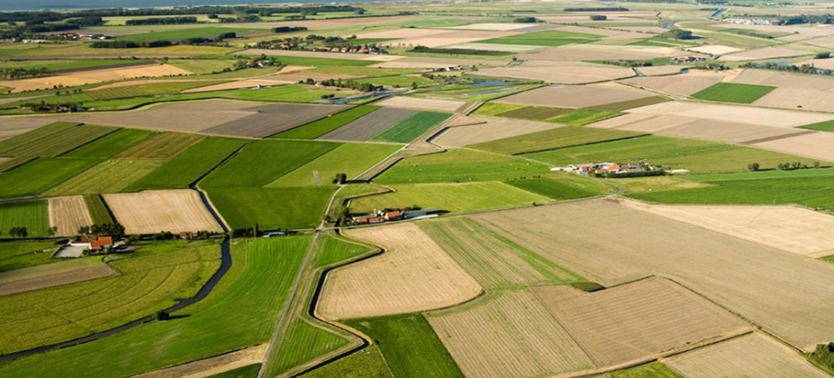
Along the old "Vuile Vaart", between Fort Sint-Donaas and Fort Isabella, the Cantelmo Line still leaves its mark on the landscape. This former defence line, part of the State-Spanish Lines, was first constructed in 1632 and rebuilt in 1640 by order of General Andreas de Cantelmo, then governor of Spanish Flanders.

The line consisted of seven equally spaced redans (arrowhead-shaped bastions), connected by an earthen wall. Around them were smaller redoubts, field fortifications with projecting corners. Though these have vanished, the canal is still clearly visible, revealing the strategic pattern of water and walls that once shaped this landscape.

This fortification was designed to control and defend the marshy lowlands south of Sluis, cleverly using the natural terrain as an ally.

51.303881705841, 3.3634802992626

Things to do

  • Walk or cycle along the line’s route between Sint-Donaas and Retranchement.
  • Follow the course of the "Vuile Vaart" once a military waterline, now a tranquil landscape feature.
  • Spot the remaining embankments and the shapes of the redans in the terrain.
  • Learn about General De Cantelmo and the 17th-century geopolitical context.
  • Combine your visit with Fort Sint-Donaas or Fort Isabella.

Praktische informatie

  • Location: the line stretches from the area around Sint-Donaas to Retranchement.
  • Easily accessible via cycling and hiking junctions.
  • There is no official signposting.
  • More information is available on the website of Staats-Spaanse Linies.
  • Tip: walk along the canal in spring or autumn for the best view of the landscape's relief.

What this place tells us about the Geopark

The Cantelmolinie shows how the landscape was mobilized as defense. Dikes, canals, and ramparts were combined into a line that worked with the water, not against it. The visibility of this line today illustrates how the history of conflict and strategy remains readable in the landscape.