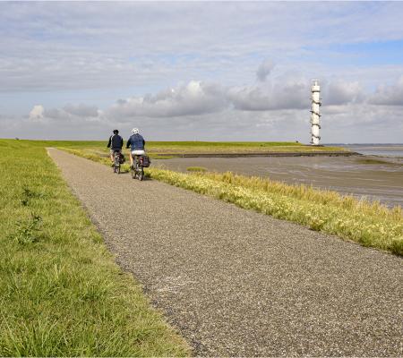
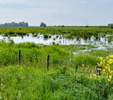
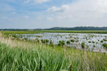
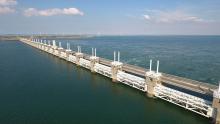
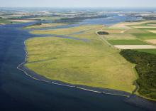
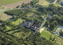
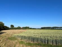
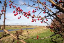
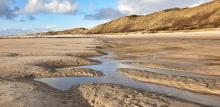
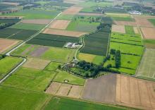
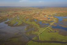
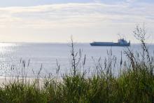
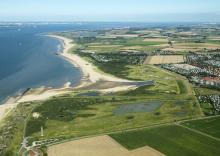
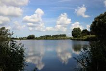
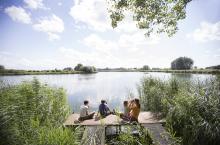
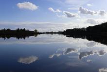
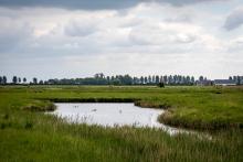
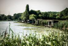
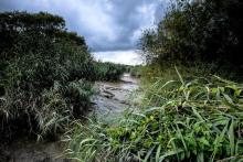
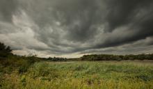
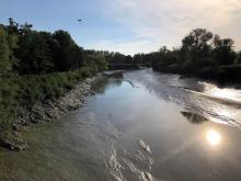
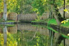
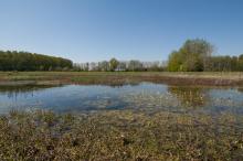
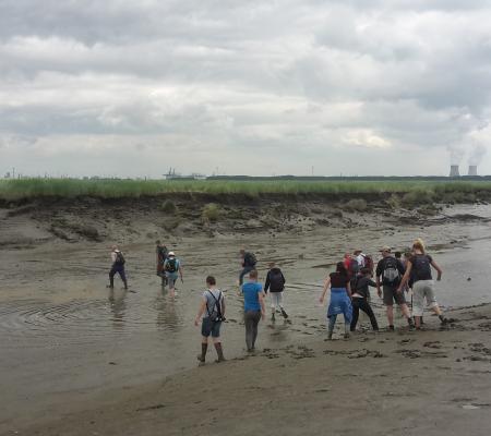
The Flemish-Dutch Scheldt Delta is a unique transnational estuary, an area where the tides of the North Sea push and pull on the course of the Scheldt, and where salt water overflows into fresh water.
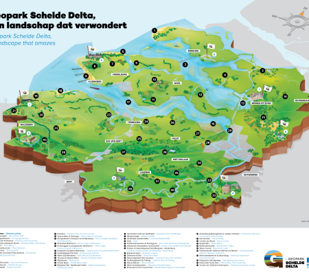
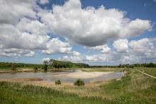
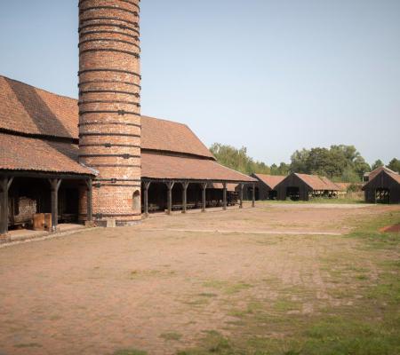
The Scheldt runs as a blue thread through this Geopark. Altogether it is an area of 5,500 km², spread over 63 partner municipalities and with some 1,500,000 inhabitants. It stretches across the provinces of Zeeland and Noord-Brabant in the Netherlands, and West Flanders, East Flanders and Antwerp in Belgium. Those provinces are therefore the initiators of this aspiring Unesco Global Geopark.
Tick a story line below to connect some highlights on the map.