Agriculture
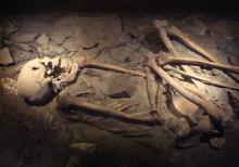
The oldest traces of human activities in the Scheldt region are found on the Maldegem-Stekene sand ridge, where hunter-gatherers and fishermen lived in the Old and Middle Stone Age. In the New Stone Age, man began to settle in permanent places, mostly along watercourses and on higher ground, and took up land for stockbreeding and arable farming.
Starting in the ninth century, fields (kouters) were established on the drier sandy ridges beside the rivers, which were cultivated according to the three-tier system. The "meadows," the wetter grounds closer to the river that flooded in winter, were mostly used as hay fields.
The wasteland on the Maldegem-Stekene cover sand ridge was converted into farmland, especially from the thirteenth century onwards, by order of abbeys. Large farmsteads like the Drongengoedhoeve, Papinglohoeve and Burkelhoeve arose on the Oedelem Cuesta. When from the eleventh century in Zeeland polders were reclaimed on a large scale, possibilities for arable farming arose there as well.
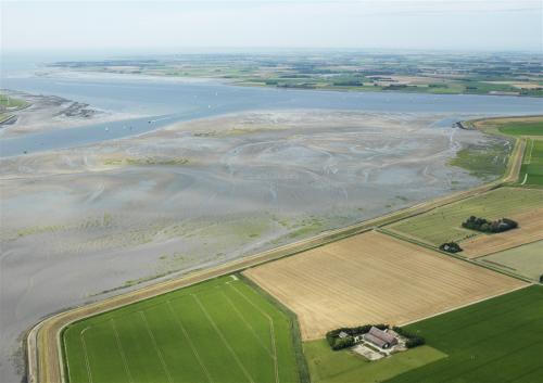
The Scheldt deposited silt in front of the dikes, creating salt marshes and mud flats. They were used as hay fields. Wet grounds in front of the dikes of the Durme and Scheldt were used as liquid meadows, i.e. they were periodically flooded. In the Waasland region, farmers dug up calcareous and loamy soil from deeper layers. The nutrient-rich soil was applied to the middle of the fields, creating characteristic convex fields and also improving water management.
Heaths and forests
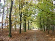
On the Maldegem-Stekene sand ridge lie the Lembeekse Bossen, converted into homogeneous coniferous forests by large landowners from the eighteenth century onward. The wood was used in the coal mines. From the middle of the eighteenth century, the Maldegem field was converted into forest. A hundred years later, a large part of the forested field was converted back into arable land.
On the wasteland of the Brabant Escarpment forests were also established. They provided income from logging and helped to prevent drifting. The Wouwsche Plantage was established in 1504 and is one of the oldest forests in the Netherlands.
Peat and salt mining
In the Middle Ages, in the low parts of Zeeland, the salty peat was excavated under the clay for peat and salt extraction (selnering or moernering). The hollow landscape that resulted from this due to poor levelling and subsidence can still be found at the Yerseke and Kapelse Moer and the Hengstdijkse Putting. In the Middle Ages, Flemings were active in peat extraction on the Brabant Escarpment and in Flanders itself, peat was also extracted on a large scale. Names such as Peat Banks and Rode Moerpolder near Kieldrecht refer to this. The Donkmeer owes its existence in part to the many peat pits that were dug there in the seventeenth and eighteenth centuries.
Craft and industry
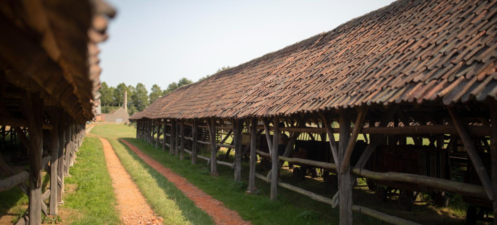
The soil also provided the raw materials for crafts and industry. Clay was mined along the Scheldt, Rupel and Durme rivers. This was already done by the Romans, who introduced the baking of roof tiles in this area. After that, a lively pottery and brickmaking industry also developed. Bergen op Zoom had a flourishing pottery industry for eight centuries from Roman times.
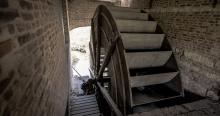
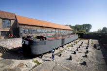
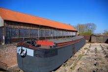
Starting in the eighteenth century, the brick industry flourished along the Rupel between Hemiksem and Rumst. The raw material for this was the heavy Boom clay that comes to the surface there. In the twentieth century, brickmaking also developed on the Brabant Escarpment. The higher or open parts of the landscape offered suitable locations for windmills and the water of the Scheldt was used by tidal mills as a source of energy. In these wind and tidal mills, grain was ground, bark processed and linseed oil pressed.
Castles, country houses and
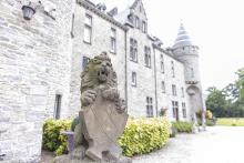
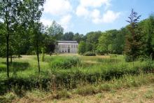
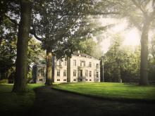
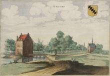
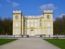
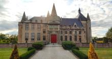
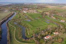
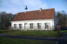
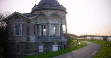
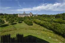
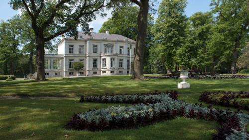
From (mining) farms to summer residences: large landowners left their mark on the area. The castle domain of Hingene goes back to a walled farmstead, already mentioned in 1120. The castle of Marnix van Sint-Aldegonde and the Laarne Castle transformed into noble summer residences. On Walcheren and Schouwen-Duiveland, urban patricians commissioned the construction of country estates from the seventeenth century onward, and in the nineteenth century, mostly Belgian landowners built country estates on the Brabant Escarpment, including Wouwsche Plantage.
Discover and experience
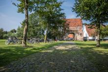
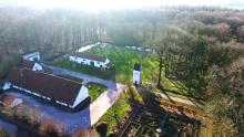
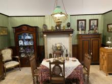
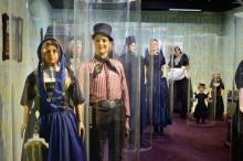
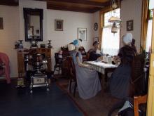
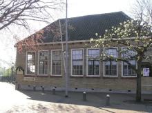
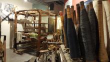
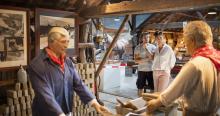
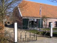
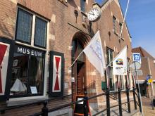
Several museums in Zeeland offer presentations on rural life, particularly Museumboerderij Goemanszorg in Dreischor. In provincial Regional Center the Huysmanhoeve in Eeklo you can discover the history of the Meetjesland. The Rupel region is full of brickmaking heritage; there are several museums. Noeveren, with old brickworks and workers' cottages, is a protected village sight. In Natuur.huis de Paardenstal, you can learn more about the nature created after clay mining. An internationally renowned collection of ceramics from the Gilliot tile factory is in the Gilliot & Roelants tile museum in Hemiksem. Along the flax straw pits in small Brabant are cycling routes. Wheat growing and basket making are the focus of the regional museum de Zilverreiger in Weert. Of the many estates that existed in Zeeland, there are a few remaining, especially in the Manteling van Walcheren and around Schuddebeurs. Also on the Brabant Escarpment we still find estates, including Mattemburgh and Lievensberg. A tidal mill can be visited in Rupelmonde. Windmills, where regional products can often be purchased, are scattered throughout the area.
