Origin of the landscape
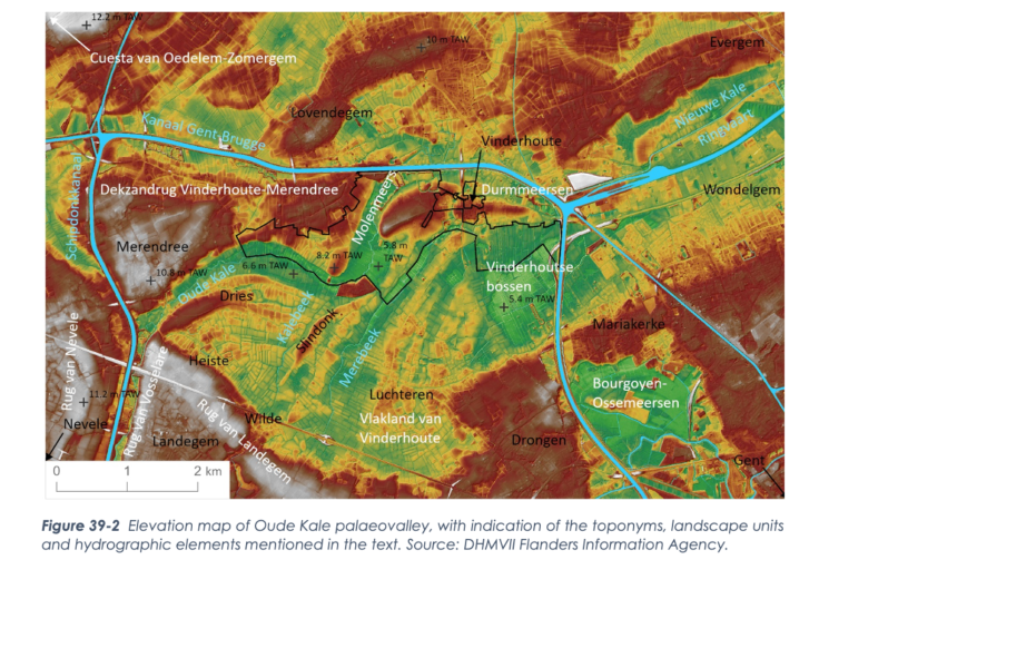
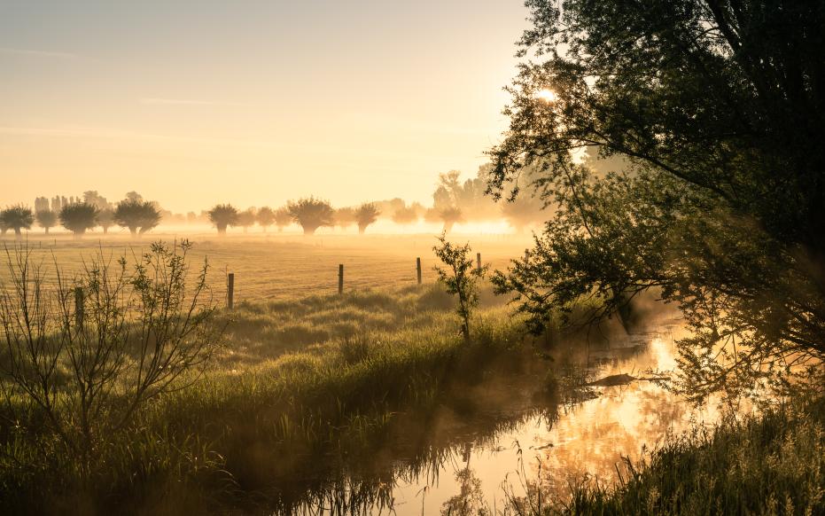
During the Pleistocene, the area was located on the western edge of the Flemish Valley. At the transition from the Weichsel Pleniglacial to the Late Glacial, the rivers of the Scheldt Basin evolved into single meander channel systems. Although the Oude Kale is now a small river, the old broad meander bends testify to a past as a major river. The elongated ridges in the flatlands of Vinderhoute are probably meander valley ridges of this stream. The valley of the present Oude Kale reflects the position at which the system stabilized thanks to the forest vegetation that developed during the warmer periods. The Oude Kale belonged to a much larger river that ran toward the Moervaart depression. The lake in this depression drained into the Scheldt via the Durme. At the height of the Vinderhoutse bossen, we see a circular depression on the elevation map. Here there is a layer of marsh limestone in the subsoil. This indicates a shallow pool of standing water, which probably dates from the Late Glacial.


