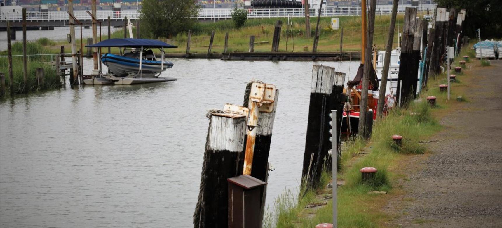
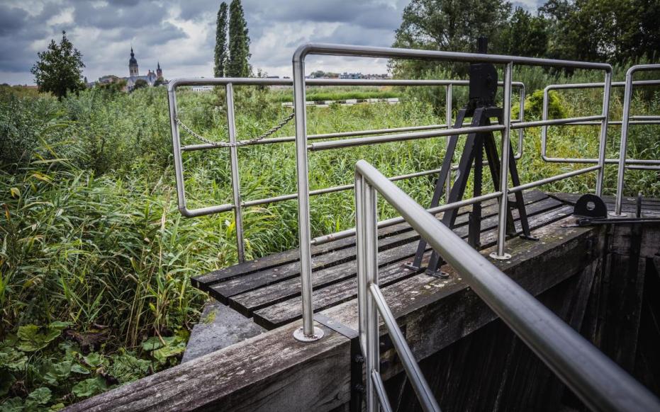
In the port area there is a nice transition from modern industry to the old port area towards the city of Antwerp. Here are the old docks and quays with buildings from the early industrial period where we can safely speak of valuable heritage.
CHARACTERISTICS
In this zone, the Scheldt is 350 m to over 1 km wide and is under the influence of tides. The part of the estuary in question has a large gradient in salinity within a short distance. It is therefore the zone where tidal vegetation with reed and willow occur alongside salt-loving plant species. In the middle of this dynamic area, you will also find oases of peace and greenery such as the old forts of Lillo and Liefkenshoek: Two forts facing each other on the Scheldt that once served to block the trade shipping from the Netherlands to Antwerp, which was in the hands of the Spaniards at the time.
ORIGIN
The fact that a world port could develop here is due to a river diversion of the Scheldt about 14,700 years ago. For a long time, the Scheldt was in contact with the North Sea via the Eastern Scheldt estuary. In the second half of the Middle Ages, storm surges and dike breaches caused the Eastern Scheldt to widen and the port of Antwerp began to develop. However, these storm surges and land loss also created a new estuary, the Western Scheldt. This took over the function of the Eastern Scheldt in the 16th century and the passage from the Scheldt to the Eastern Scheldt silted up. The Western Scheldt grew into a wide and deep estuary and the port of Antwerp came to an unprecedented boom.
LOCATION
This is the area in and around the port of Antwerp on both the left and right banks of the Scheldt. It extends from in the north of port just across the Dutch border at the Drowned Land of Saeftinghe, to in the south where the Hoboken polder turns into Scheldeland.


