Ports and trading places
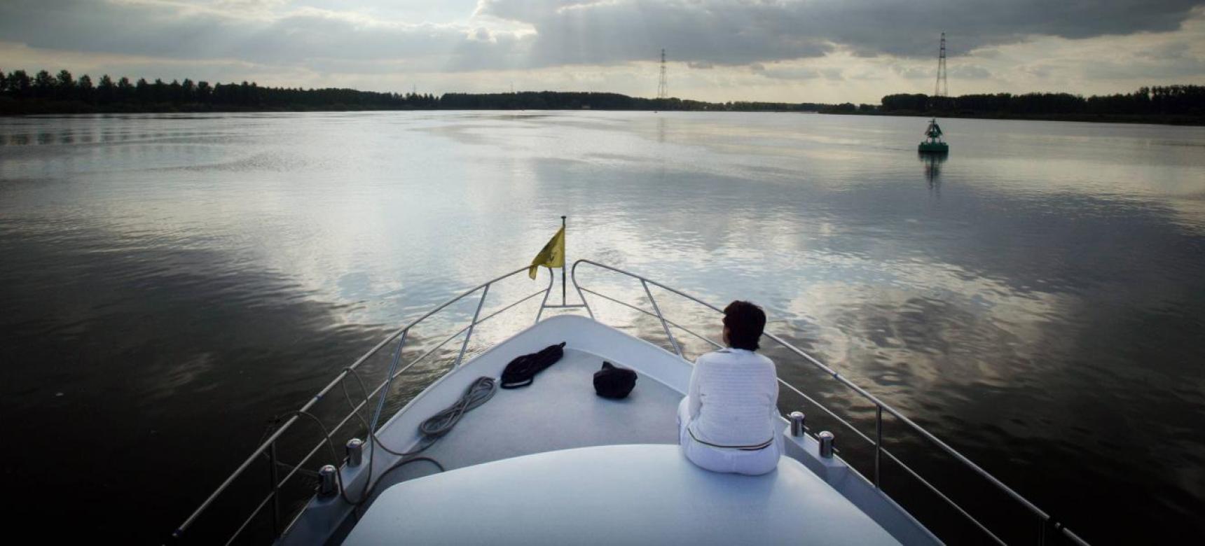
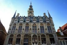
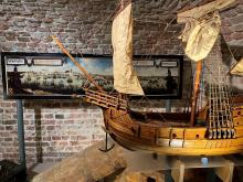
The Scheldt was already an important transport route in Roman times. Products went by sea to present-day England, France and Germany. Port towns such as Bruges, Ghent, Middelburg, Zierikzee, Veere and Hulst developed into flourishing trading settlements in the late Middle Ages. Outports developed along wide tidal channels for Bruges and Ghent. Damme, for example, developed in the 12th century at the dam that closed off the Zwin. Later Hoeke, Monnikerede and Sluis followed as important trading places.
Antwerp, already important as a port and commercial city in the thirteenth century, began its prosperity three centuries later when the Western Scheldt became the most important waterway and Bruges declined due to silting up of the Zwin. Antwerp would grow into a metropolis on the Scheldt. Middelburg and Flushing also profited greatly from international trade until the eighteenth century, thanks in part to tolls on shipping to and from Antwerp.
Waterways
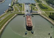
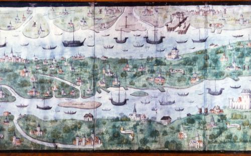
For centuries, transport by water was the most efficient, safest and fastest way of transportation. The Scheldt estuary has a widely branched system of waterways, in which goods were also transported over waterways and peat canals. Throughout the area were jetties, (tidal) harbors, locks and ferry ferries. In Zeeland, the ferries formed an essential link between the islands well into the twentieth century.
As early as the Middle Ages, canals were dug to connect a trading place with open water or with other trading places. Thus, in the twelfth century, the canal of the Old Zwin was dug to connect Bruges with the sea. From 1251 to 1269, the De Lieve canal was dug between Ghent and the Zwin near Damme. In the mid-sixteenth century, the construction of the Sassevaart created a connection between Ghent and the Honte.
In the nineteenth century, substantial investments were made in new waterways: the Damse Vaart to connect northern France with Sluis and the Western Scheldt via Bruges, the Ghent-Terneuzen Canal, and the Canal through Zuid-Beveland. The latter provided a new connection between the Western Scheldt and Eastern Scheldt after construction of the Kreekrakdam.
Far-reaching interventions were necessary to keep the Scheldt and its tributaries navigable. At the beginning of the twentieth century, the Scheldt was straightened for shipping. Problems had arisen earlier in the Durme, which silted up after the construction of the Ghent-Terneuzen Canal. Keeping the Western Scheldt navigable to ensure accessibility to the ports of Antwerp is still a hot issue today.
Land roads
Settlements, such as Bornem, Waasmunster and Ganuenta, developed at crossing and mooring points along waterways as early as Roman times. Land roads were preferably built on higher ground that remained dry even in winter. In the oldest diked areas in Zeeland, the roads lay on the higher creek ridges. In the smaller, late medieval polders, the roads mostly follow the dike pattern. The even younger, mostly larger polders are traversed by long, straight roads.
People equally moved along smaller roads and paths. In the Rupel region, brick potters built tunnels under the dyke road from the nineteenth century onwards, to easily cross with the clay from the extraction pit to the brick kiln and further to the loading docks along the Scheldt and Rupel rivers. Some are still in use as neighborhood roads.
Pelgrims, migrants and artists
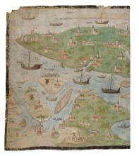
Some roads were known routes to places of pilgrimage in the Middle Ages. Large cities acted as magnets for migrants, (religious) refugees or people looking for work. In addition to merchants, a host of craftsmen, artists and scholars settled there. This is how printing and cartography developed in Antwerp. After the Fall of Antwerp in 1585, many Protestants fled north, including to Middelburg, where they were at the cradle of a cultural and intellectual heyday.
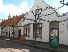
Because of its beautiful landscapes, picturesque villages and harbors, and monumental inner cities, the Scheldt region exerted great attraction on artists and tourists. Coastal towns such as Knokke and Domburg gained fame in the nineteenth century as health resorts and seaside resorts.
Discover and experience
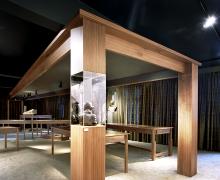
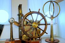
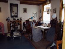
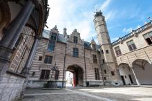
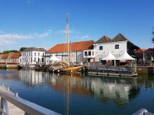
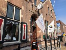
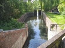
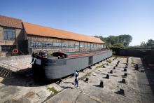
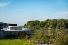
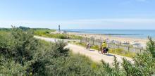
The entire area can be explored on foot and by bicycle along numerous routes. Bicycle and foot ferries connect the banks. Walking routes have been set out in the Scheldt-Durm landscape along "slow roads". From the pavilion de Notelaer on the Scheldedijk you have a beautiful view of the Scheldt landscape. The Sas near Bornem has been fully restored and is considered the best preserved mechanical lock in Belgium. The Markiezenhof in Bergen op Zoom is now a museum. The old abbey in Middelburg houses the Zeeuws Museum. Picturesque old port towns such as Damme, Sluis, Veere and Zierikzee are popular with tourists. The former Baasrode shipyards in Dendermonde are being developed into a heritage site about shipbuilding and inland navigation around 1900. The Mercator Museum in Sint-Niklaas is dedicated to the cartographer Gerardus Mercator, from Rupelmonde. In his native village of Sint-Amands, a museum is dedicated to the poet Emile Verhaeren.
