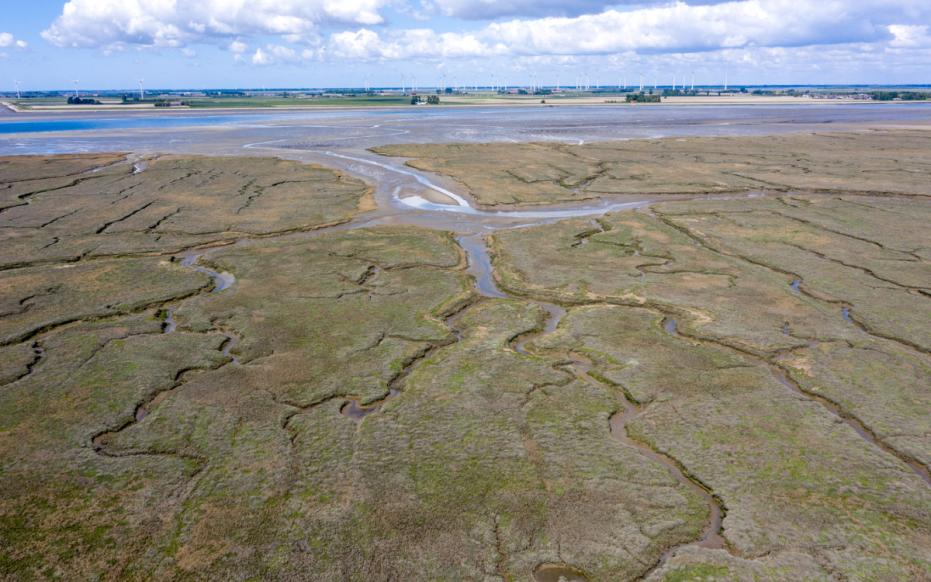
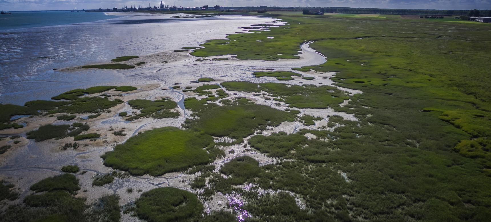
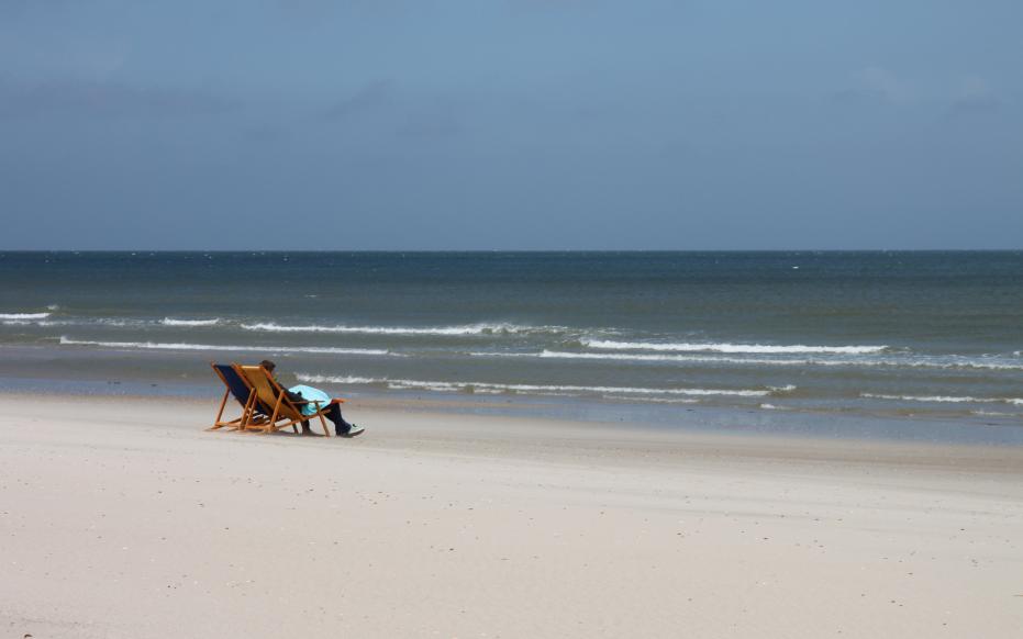
Estuary

An estuary is a place where the tides of the sea influence the flow of a river and shape its surrounding landscape. Here, salt water from the sea mixes with the fresh water of the river.

Although our Geopark is called the Schelde Delta (Scheldt Delta), it covers the Scheldt estuary. The tides of the North Sea can raise the water level of the Scheldt by up to 5 metres during high tide. As a result, there is an increased risk of flooding during storm surges, when high tide combines with strong sea winds.

To manage this threat, the Netherlands created the Delta Works, while Belgium implemented the Sigma Plan. Let’s first explore how tides work and how a Controlled Flood Area (CFA) functions in the animation below.

Walcheren strand

What is the tide?

On a warm day at the beach, you might head to the sea for a refreshing swim. But sometimes, you’ll notice you have to walk a long way to reach the water, while other times, it’s much closer, even if your towel is in the same spot. It might seem like the sea is moving... and that’s because it is!

This "movement" of the sea is called the tide: the regular rise and fall of sea levels. When the water is far away, we call it low tide. Afterwards, the sea gradually comes closer again; this is known as high tide. So next time, you might not have to walk as far for a swim

Krabbenkreek (gemaakt door Marcelle Davidse)

A river delta

We call the mouth of a river a delta when, seen from above, it forms a kind of triangle. That’s where the name delta comes from, it resembles the Greek capital letter ∆. In a delta, the river flows through lowland areas toward the sea, which slows down its current. As a result, fine clay and sand particles settle to the bottom. This buildup causes the river to branch out into new channels as it finds different paths to the sea. The water in a delta remains fresh, and there is no noticeable tidal influence.

screenshot video slikken en schorren

So why it is called an estuary?

Due to the influence of the North Sea tides on the Scheldt Delta region, this area is an estuary. The play of ebb and flow shapes a unique and rich natural environment, with mudflats and salt marshes. Mudflats are areas that are completely submerged at high tide and exposed at low tide. They are extremely rich in nutrients, making them an ideal feeding ground for coastal birds. Salt marshes, on the other hand, are only flooded a few times a year. They are covered with grasses and herbs, forming a distinctive and resilient landscape.