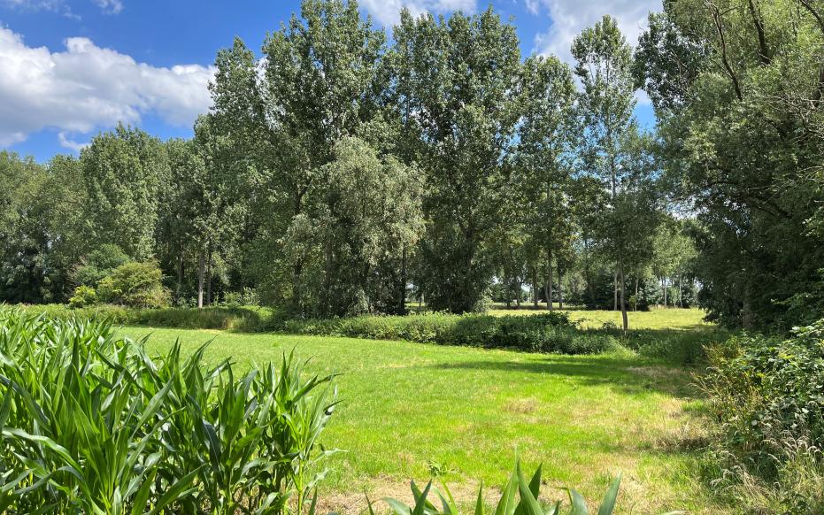
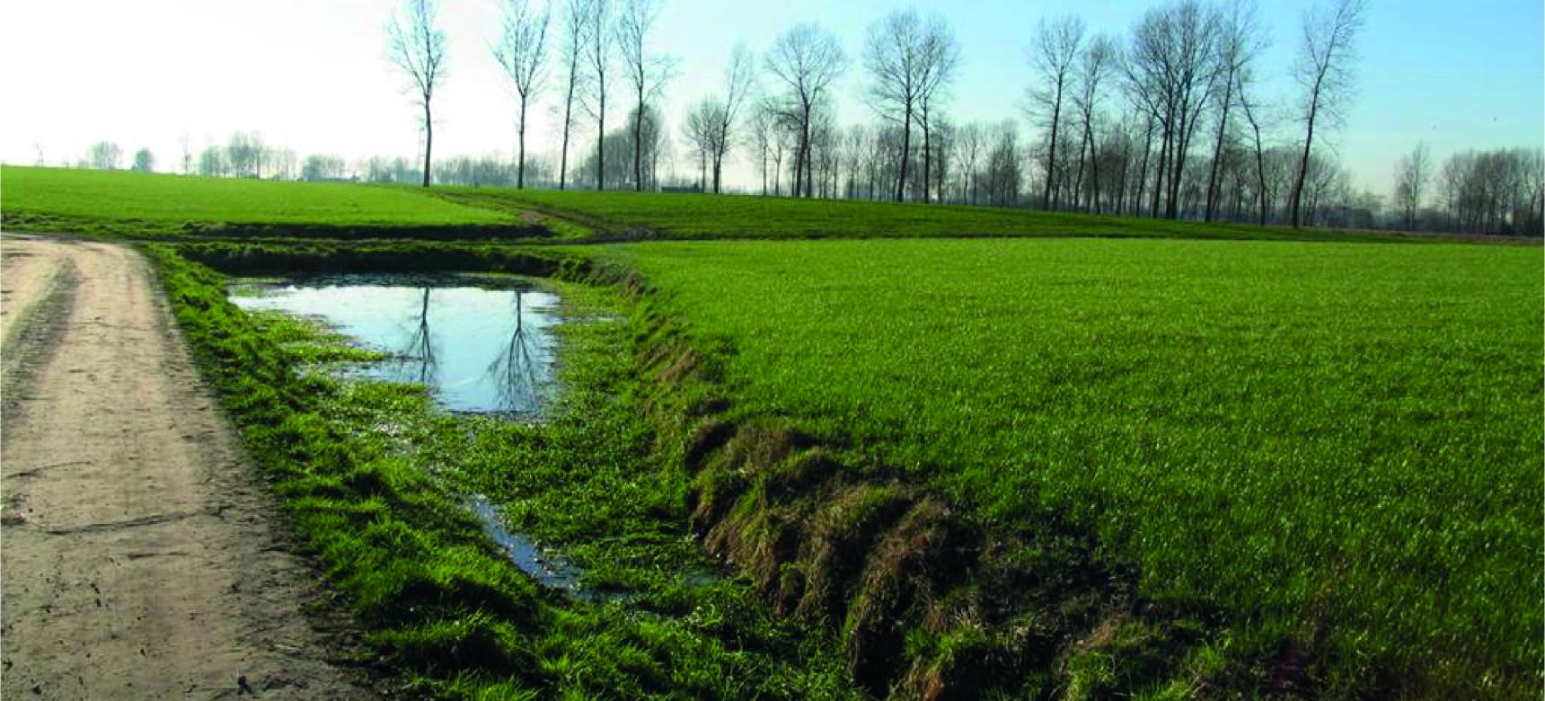
Barbierbeek Valley

The Barbierbeek is a long watercourse in the basin of the Scheldt and is the largest stream in the Waasland region. Between about 32 million and 30 million years ago, a period occurred when the sea was deep and clay was deposited. The result is the Formation of Boom: a package of clay with a pattern of horizontal light and dark gray bands. While sedimentation occurred in the North Sea basin, plate tectonics in southern Europe caused the formation of several mountain ranges. As the land lifted in the south, the Earth's crust descended in the north and the Boom Formation moved into a northeastward sloping position. South of the line Waasmunster - Temse - Rupelmonde, the layer became exposed to erosion. The firm clay of the Boom formation was more resistant to erosion than the underlying and overlying sand layers. This allowed the Flemish Valley to cut deeply into the sand, but not into the Boom clay. The result was a cuesta.

51.145567916014, 4.3404876

Elevation map of the Barbierbeek Valley, with indication of the toponyms, landscape units and hydrographic elements mentioned in the text.

Meandering stream

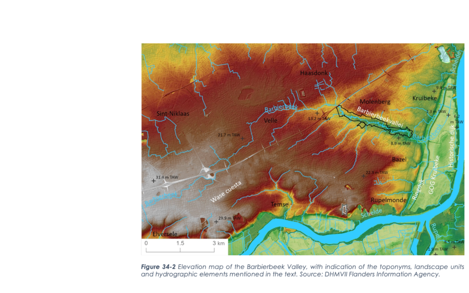
Presumably, the valley was already formed during the Late Glacial, between about 15000 and 12000 years ago, by a precursor of Barbierbeek. In any case, the Barbierbeek became an increasingly important watercourse during the last few thousand years: the groundwater level rose during the Holocene and water discharge increased. The poor permeability of the clay layer of the Formation of Boom amplified this effect. Moreover, due to the increasing deforestation during the Late Holocene, the soil in the basin was increasingly exposed to erosion and the sediment load of the stream increased. This resulted in very active sedimentation and erosion processes in the Barbierbeek Valley: meanders formed.

Uitzicht op geosite Barbierbeekvallei (gemaakt door Walter Jonkers)

Formation of the bolle akkers

The landscapes on the Waasland Cuesta were not suitable for intensive agriculture until the Middle Ages because of the unfavorable soil, namely a poor and wet sandy soil. Beginning in the late 15th century, the practice arose in the region around the Barbierbeek Valley of constructing deep ditches around block-shaped plots to improve drainage and runoff. The excavated loamy and calcareous soil was applied to the fields, improving soil fertility. This made the field soil higher and drier than the edges of the plot. Hence the name "bolle akkers". Although similar techniques were also used elsewhere in Flanders, this spherical shape was most pronounced and symmetrical on the Wase cuestarug the spherical field landscape has largely been preserved to this day.

Visit via: 2620 Hemiksem, Belgium