Fort de Roovere

In 1628, the States General of Zeeland and Holland decided enough was enough: the Spaniards had plundered Steenbergen several times and were coming dangerously close to Bergen op Zoom. To turn the tide, land was deliberately flooded, creating the West Brabant Water Line. On a high sand ridge near Halsteren, a strategic stronghold arose: Fort de Roovere.

This fort not only held back the Spaniards, but also later the French and the Belgians. Today, you can walk along its earthen ramparts and dry moats, through remnants of French trenches and past restored fortress structures.

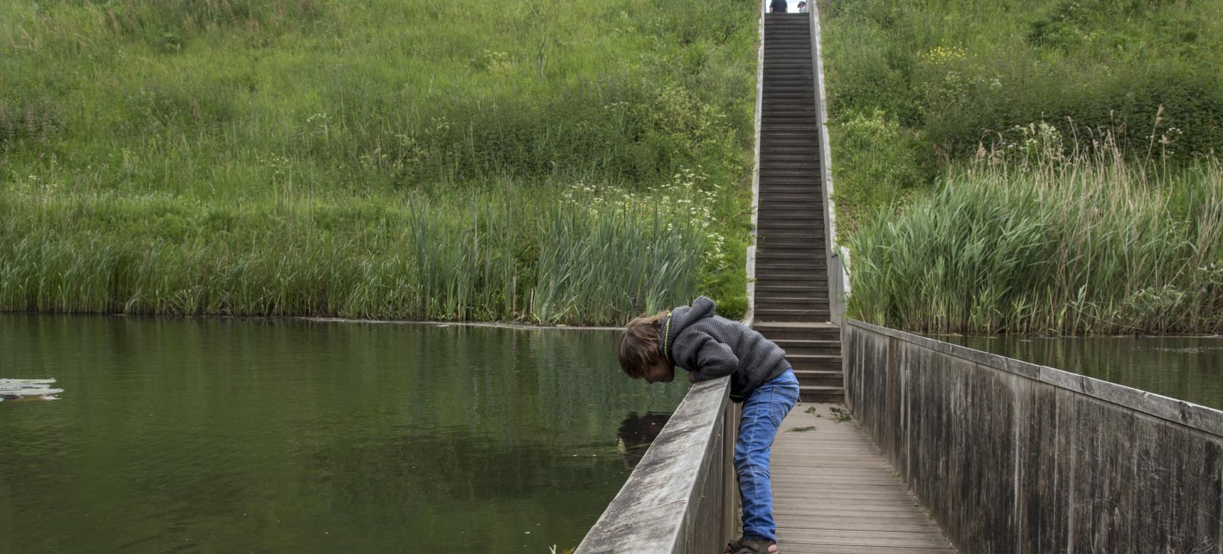
World-famous is the Moses Bridge: a modern, invisible bridge through the water where you walk with dry feet, as if the water parts before you. Also, climb the Pompejus watchtower for a phenomenal view over a landscape that was once a battlefield, but is now a green oasis.

51.529302147185, 4.2988068393562

Fort De Roovere Brabantse Wal (gemaakt door Ed Kil)

Things to do

  • Walk dry through the water via the unique Moses Bridge.
  • Climb the Pompejus watchtower and see how landscape and fortifications come together.
  • Stroll along ramparts, moats, and trenches from multiple wars.
  • Learn more about the Zuiderwaterlinie and inundations at the visitor center De Schaft.

Practical information

  • Location: Ligneweg, 4661 Halsteren (bij Bergen op Zoom).
  • Freely accessible.
  • Best experienced in combination with the info panels and visitor center De Schaft.
  • Tip: combine your visit with a route to Fort Pinssen or the fortified town of Bergen op Zoom
  • Find all information on the website of Zuiderwaterlinie.

What this place tells us about the Geopark

Fort de Roovere shows how the delta landscape was used as a means of defense. Here, water became a weapon, relief gained strategic value, and sand turned into a shield. Its position on a sand ridge, the interplay between drought and flooding, and the influence of military engineering make this place a living example of how nature and necessity shaped one another.