Origin of the landscape
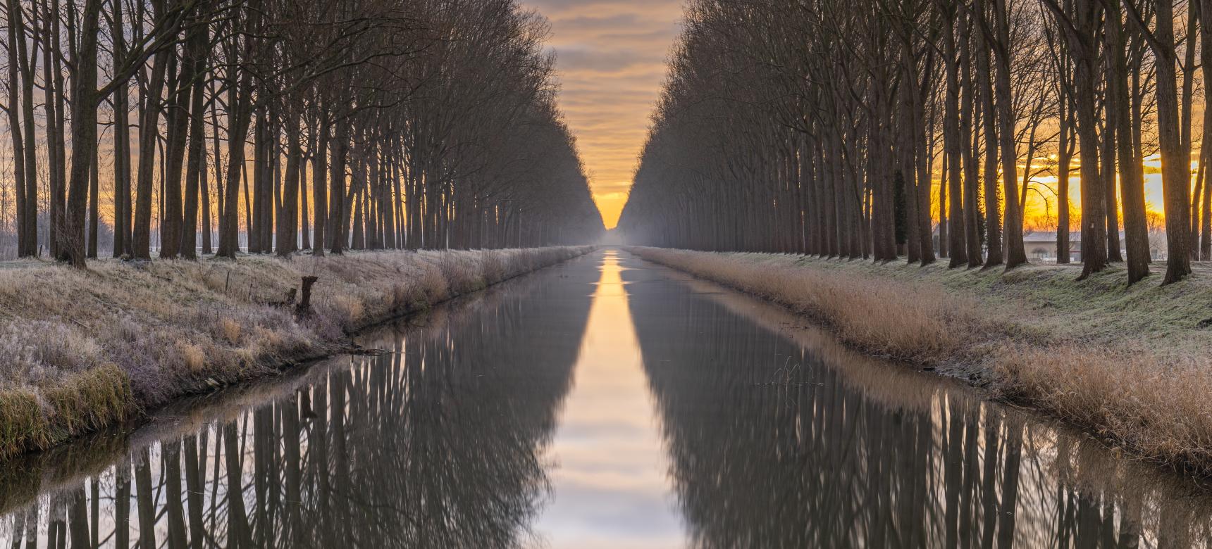
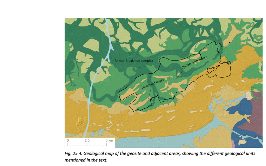
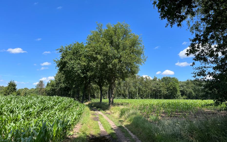
During the last ice age, the landscape consisted of a polar desert with little vegetation and higher cover sand ridges. After the ice age, the sea level rose and drowned part of the lower cover sand landscape which changed Zeeland into a tidal area with peat bogs on the edges. In Zeeuws-Vlaanderen, only the high-lying cover sand ridges remained above the peat. The protective coastal barrier was gradually broken again in the Late Iron Age, causing parts of the peat landscape to be influenced by the sea again. In the 13th century, a tidal system formed here, dividing Zeeuws-Vlaanderen into two areas for centuries. From the large tidal channels, creeks were eventually able to work their way far inland through the peaty area of the geosite, along and sometimes right through the higher thought sand ridges. The cover sand ridges formed the areas where medieval settlement was concentrated. From these villages, the peat in the geosite area was eventually excavated in the Middle Ages and transported to cities such as Ghent via inland peat canals such as the Zoute Vaart.


