This detour, a 6.7-kilometer walk along Rilland's most striking landmarks, was put together by villagers. For this detour (purple line on map), follow the yellow directional arrows with the Oud & Nieuw logo along the way. You can also extend the route via the other (junction) numbers of the walking network.
-
Monastery
This monastery was founded in 1906 by the Capuchin friars who came to bring the Gospel to Rilland. They were also the founders of the Catholic school in Rilland, the Horizon. The friars were located here until 1966. After that, the monastery had many functions: nursing home, hotel and conference center. Now it is used to house international workers.
-
Hollestelle
If you look to the left at the monastery, you will see a hill in the landscape. This is a hollestelle, an artificial well located within the ring wall. One of the few remaining in Zeeland. They were basically constructed on the salt marshes as a drinking well for sheep. The shepherd (steler) could also retire here with his sheep at high tide.
-
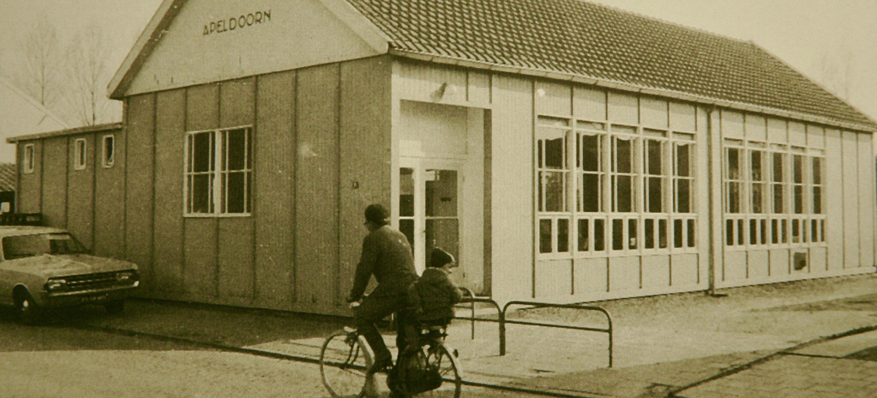
Town hall “Luctor et Emergo”
After the 1953 flood disaster, there was a reconstruction fund where donations came from all over the world to support the getro and areas. This is how the village house "Luctor et Emergo" came about with help from Australia and opened its doors in 1960. The opening ceremony was performed by Australian Ambassador Sir Edwin McCarthy. Various associations use this space, but weddings, parties and funeral ceremonies also take place here. Podium Reimerswaal provides a diverse range of performances here.
-
City hall
The municipality of Rilland-Bath was formed in 1878 as an amalgamation of the municipalities of Rilland and Maire with Fort Bath. From 1938 the town hall was used until the creation of the municipality of Reimerswaal in 1970. The coat of arms, located above the door, consists of three parts: the coat of arms of Rilland (earth with the Scheldt), the coat of arms of Maire (6 scallops) and the coat of arms of Bath (the washtub with water and the tree of life with doves).
-
Maria Hoeve
This farm from 1780 is the only complete farm from that era remaining in its original state. The other 12 farmhouses (all with 80 acres of land) have been replaced by more modern versions, destroyed by fire or only the dwelling has survived. The monumental farmstead has survived war and flooding throughout history and has been officially registered as a Regional Monument since 1979.
-
Dutch reformed church
On Oct. 17, 1927, the foundation stone for the church was laid by President Churchwarden F.M. Boot in the "Amsterdamse School" architectural style. In 1990, the church council of the now merged congregation of Rilland Bath decided to sell the now popularly called Bathsewegkerk. In 2019, after a years-long process, the town council unanimously decided that the church will be demolished but the tower will remain for the preservation of the village landscape. The rest
will become an apartment complex.
-
Flood disasters and power hole
In 1530, during the Sint Felix flood, old Rilland disappeared into the Western Scheldt. At low tide, the remains of this old Rilland can still be seen: a fossil tree and a piece of the street pattern. In 1953 the current Rilland was hit by the flood disaster. During The disaster created a large tide hole in the inlet near Bath. This flood hole was closed in two stages in 1953; in February by constructing a dike and in March by sinking a ship. Thereby the 'Bath hole' remained.