Creek ridges and pool grounds of Walcheren

This geosite covers an area of creek ridges and pool grounds on the western side of Walcheren. In the area we can see several tidal channels: old, large-scale systems hundreds of meters wide, small-scale rectangular got according to a historical ditch pattern and a young sea intrusion due to military inundation in World War II.

51.586516720026, 3.5840522

Geological map

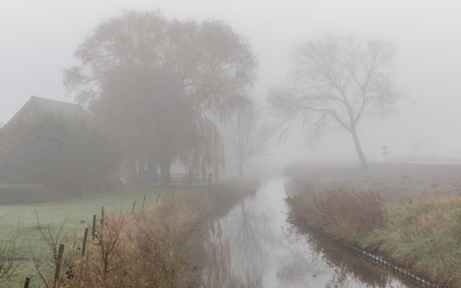
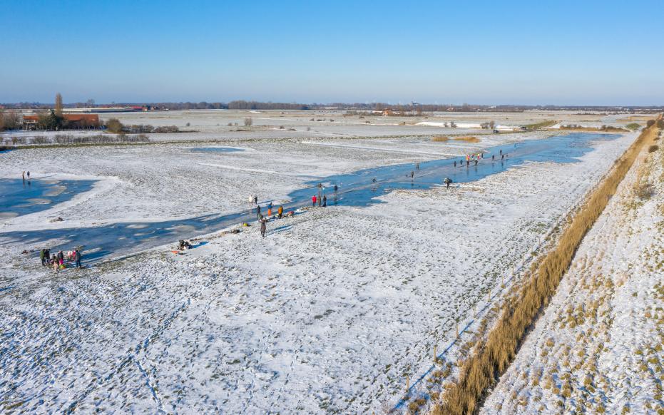
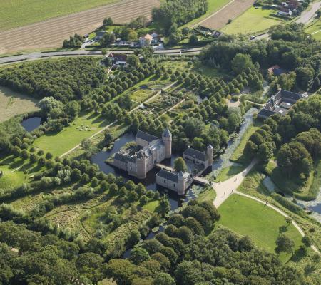
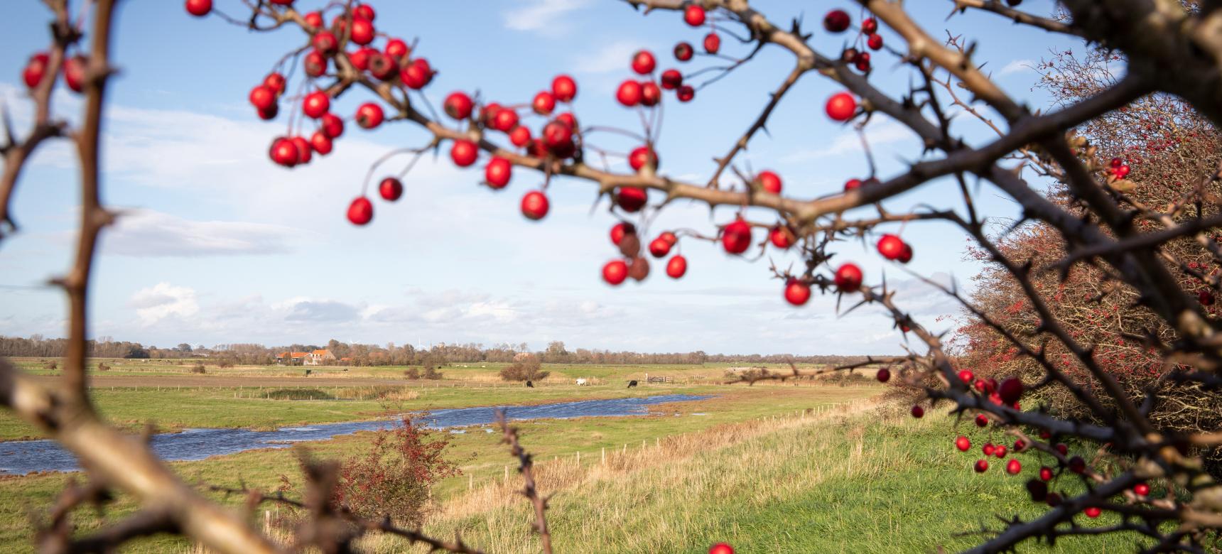
Pool grounds and creek ridges

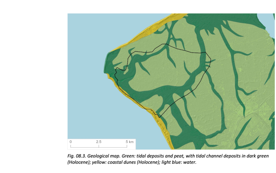
The creeks in this area provided drainage for the peatland, causing the peat to partially decompose. As a result, the peat surface became lower and a thin layer of clay was deposited on the peat at high tide. The peatland changed into a salt marsh landscape due to the weight of the clay on the peat. The current in the creeks of this salt marsh landscape was stronger than outside it. Therefore, during the phase of silting up, only clay was deposited outside the channel and the channels became filled with sand. In the course of centuries, the peat and clay outside the creeks sunk in and the land surface fell. There was less subsidence in the sandy gullies, which is why the former gullies are higher in the landscape. These higher areas are called creek ridges. On these are often the oldest roads and settlement centers.

Mist op het oudland met poelgebieden en kreekruggen (gemaakt door Marcelle Davidse)

Bombardement and "Westkapelse kreek"

On October 2, 1944, the sea dike of Westkapelle was bombed by the Allies. In the process, in addition to the sea dike, the western part of the village was also destroyed. Many civilians who remained were killed. Unlike other inundations inland, here the tide got a grip on the hinterland and scoured out two large channels inland.

Winters aanzicht van het oudland met poelgebieden en kreekruggen (gemaakt door Marcelle Davidse)

Historic ditch pattern

Smaller, lower creek ridges occur between the large former tidal channels. Some of these creek ridges follow a natural, somewhat jagged pattern that might be expected of tidal channels. But the small creeks that cut through Walcheren's pool lands tend to follow a rectangular, unnatural-looking pattern. When the sea re-entered the land after breaking the coastal barrier, the small tidal channels followed the path of least resistance. In this area, that was an existing network of ditches dating mainly from Roman times. Those ditches had been dug to drain the peatland and make it habitable, and connected to the larger tidal channels.

Visit via: Oostkapelle, Netherlands