The creation of the landscape
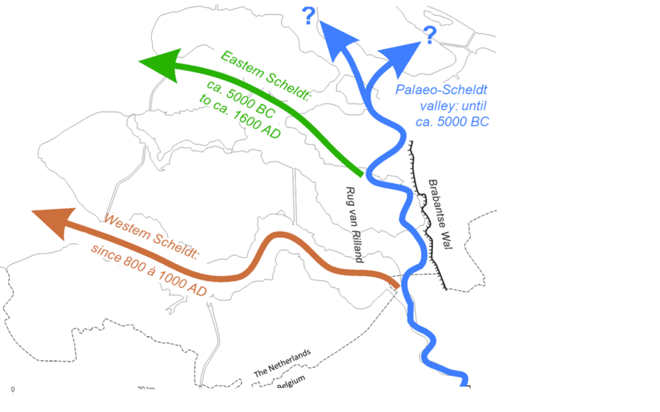
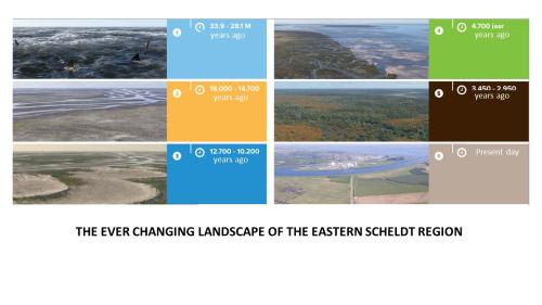
The forerunner of today's Eastern Scheldt formed between 7400 and 6300 years ago. This was then an important tidal channel that made contact with the Scheldt at the Brabant Escarpment. Around 3800 years ago, an opening arose in the beach ridge that protected the freshwater marshland behind it from intrusions from the sea. That opening was the mouth of the river Scheldt. Centuries later, this Scheldt estuary deepened and widened again, transforming the entire coastal plain back into a large tidal area.
Between 700 and 800 A.D., one of these tidal channels connected to the then Scheldt at the site of today's Western Scheldt. Starting in the 16th century, the Western Scheldt became the main connection of the Scheldt with the sea. Several storm surges played a role in this as many villages and the town of Reimerswaal flooded. This created a much wider connection between the Eastern Scheldt and the Western Scheldt in that area. This caused major changes in the tidal currents and a wider and deeper estuary mouth. From the end of the 19th century the influence of man became more and more important.
